What are the Different Types of Geotechnical Equipment?
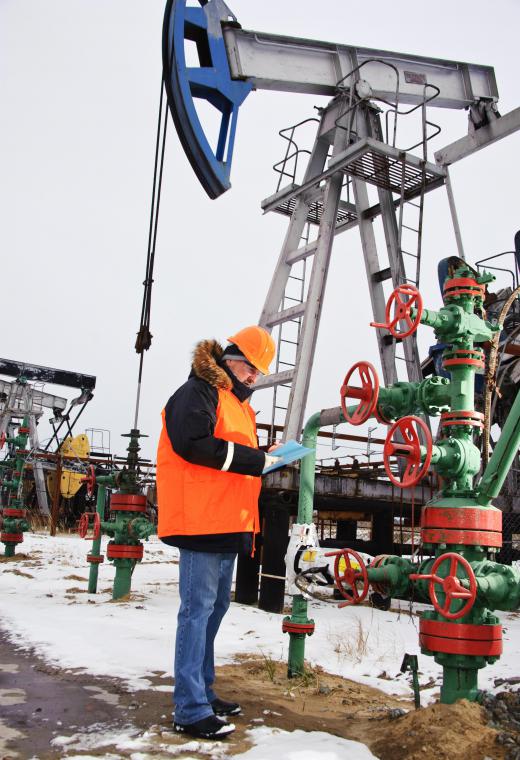
Geotechnical equipment is generally employed by geotechnical engineers to study the structure and form of earth materials. This can help in the planning and construction of building foundations, designing earthworks, and constructing oilrigs. Some of the most common types of geotechnical equipment are drilling rigs, surveying equipment, inclinometers, data loggers, and computer programs.
When constructing a building or a setting up an oilrig, many careful considerations have to be made concerning how the edifice will fit in the Earth. Geotechnical engineers usually perform these planning and designing tasks, trying to determine the most safe and practical means to integrate the building and earthly materials. Some of the potential problems geotechnical engineers must be aware of are landslides, earthquakes, and sinkholes. For these reasons, there are various types of geotechnical equipment used in the engineering process to help achieve the best results.

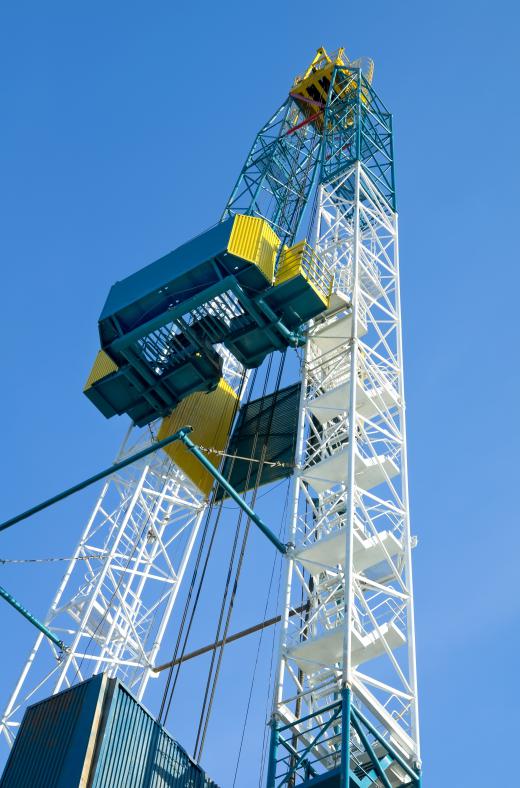
There are many types of drills and drilling rigs that are used in geotechnical engineering to excavate and burrow into the ground. This can be done for many reasons, such as laying foundations, collecting samples, and compiling data on geoformation. Some drills are specifically designed for underground drilling, while others are intended for surface drilling. These can feature specialized equipment, like diamond digging implements, to ensure accuracy and efficiency.
An auger drilling rig is often used by geotechnical engineers. This design features a helical screw drill bit that is used by a shaft in the ground. The excess earth is then removed through a borehole.

Devices known as data loggers can be attached to drilling rigs. As the name suggests, the logger collects data from the drilling process using a main electronic device and external instruments, or sensors. This can include information such as earth temperature, rock formation patterns, and recording trend data of earth movements.
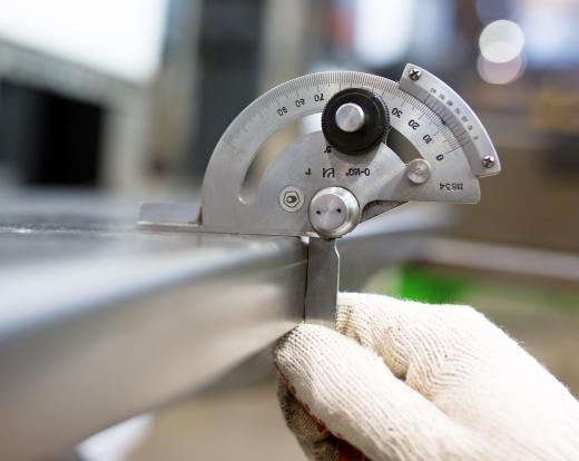
Inclinometers and tilt sensors are also common types of geotechnical equipment. These tools are generally used for different types of measuring, such as ascertaining the lateral movement of the Earth or the deformation of existing structures. Using technologies such as Micro-Electrical-Mechanical-Systems (MEMS) the inclinometer can provide the user with precise data, in good resolution, without interference from exterior factors.

Crack meters are used to measure movement between already existing cracks and joints. This can help the geotechnical engineer to determine if surfaces are safe for digging, or other work. Crack meters are typically designed to withstand harsh field conditions, and are geothermally insulated to protect them from extreme temperatures.
There are also many software programs that may be considered as important geotechnical equipment. These programs can allow engineers to closely study the foundations of land or plan structures. The software can help the engineer come up with the best design structure possible, and can also be an invaluable precursor to drilling and construction.
AS FEATURED ON:
AS FEATURED ON:


Discussion Comments
With all the oil drilling equipment operating across the world and then all of the various types of mining taking place it is no wonder that the earth is less stable than it has been in the past. And if we continue to allow procedures like fracking to find natural gas then we can expect more sinkholes and earthquakes.
I'm not saying we should not allow drilling for energy, but we should be ready for the things that can go wrong because of digging into the earth.
@Animandel - Like the article says, scientists are able to use geotechnical equipment to determine places in the ground where there in instability. The equipment can measure how dense the soil is and also show spaces between the soil. So this can be helpful in predicting where sinkholes and earthquakes are more likely to occur.
The problem is that using this technology is expensive, so while it is used at potential drilling sites, using the equipment is too expensive to be used in the way forecasters use weather radar. You can't examine every area to see if you might have a potential sinkhole in the making.
I've been reading more news reports about people, cars and houses falling into sinkholes. Years ago, when I first heard about them they were usually in particular areas. Now it seems that a sinkhole can form almost anywhere. And usually the sinkholes happen without any warning.
What I am wondering is whether geotechnical equipment can be used to find out when a sinkhole is going to form, and then people can be warned so they can get out of the area.
Post your comments