What is a Seismic Zone?
 Mary McMahon
A seismic zone is a region in which the rate of seismic activity remains fairly consistent. This may mean that seismic activity is incredibly rare, or that it is extremely common. Some people often use the term “seismic zone” to talk about an area with an increased risk of seismic activity, while others prefer to talk about “seismic hazard zones” when discussing areas where seismic activity is more frequent.
Many nations have government agencies concerned with seismic activity. These agencies use the data they collect about seismic activity to divide the nation into various seismic zones. A number of different zoning systems are used, from numerical zones to colored zones, with each number or color representing a different level of seismic activity. In the United States, for example, the seismic zones are divided between one and five, with zone five being the most at risk of seismic activity.

Most high-activity seismic zones are located along what are known as fault zones, regions of the Earth's crust which are prone to seismic activity. Fault zones often occur where continental plates meet, but they can also be found around volcanoes. A major fault zone in North America far from any plate boundaries is caused by a huge bubble of magma under the Earth's crust which periodically bubbles up into an explosive volcanic eruption.

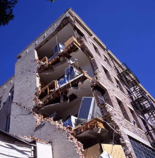
By breaking a country up into different seismic zones, a nation can identify areas which are at increased risk. These areas may have more stringent building codes which are designed to make them safer in the event of an earthquake, and emergency services in a high risk seismic zone may be required to have special earthquake training and frequent drills to practice responding to an earthquake. Insurance companies usually also increase their rates in a high-activity seismic zone.

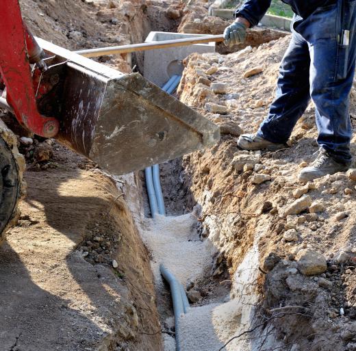
One of the biggest hazards beyond the basic shaking of an earthquake for people in a high-activity seismic zone is liquefaction. Soil liquefaction occurs when loose sediments become suspended in water as a result of seismic activity which pushes the water table upward. When soil liquefaction occurs, the ground is no longer able to support the weight of buildings, highways, and other structures, causing collapses to occur. Underground utility lines may be severed in the process, resulting in potentially explosive leaks of gas along with widespread contamination with sewage. In high-activity zones which are also subject to liquefaction, an earthquake can be extremely dangerous.
AS FEATURED ON:
AS FEATURED ON:


Discussion Comments
@waterhopper- There are maps available that tell you where all of the Seismic Hazard Zones are. If you live anywhere close to these areas, there should be maps posted in your local county building.
In addition, if you are looking to buy a home in a Seismic Hazard Zone, the Natural Hazards Disclosure Act of 1998 requires that property owners or real estate agents let you know. They must provide you with what is called a “Natural Hazard Disclosure Statement”. This is required when the property is within one or more state-mapped hazard areas.
How would someone know if a particular area was a Seismic Hazard Zone?
Post your comments