What is Photogrammetry?
In most applications, photogrammetry is the process by which two or more two dimensional (2D) images are translated into three dimensional (3D) measurements or models. It typically involves analyzing and comparing 2D photographs. This process is often used to create digital 3D models of topography, buildings, and objects.
The general goal of the photogrammetry process is to analyze photographs to determine the measurements of an object or spatial area. This usually involves two or more pictures of the same target object that are taken from different angles. These photographs may be film or digital. Pictures can also be scanned into a computer to create a digital image that may make them easier to analyze.

Each photograph typically offers a different field of view. Field of view refers to how much visual information the camera can take in, or how much the camera can see through its lens. This field of view gets larger or smaller depending on the camera’s focal length and its distance from the object. In photogrammetry, two or more fields of view are overlapped to calculate measurements.

A photogrammetrist usually maps several reference points on the target that are visible in the available photographs. Using multiple points, camera angles, and fields of view allows him or her to triangulate the position of the points in relation to one another. Triangulating the coordinates within the 3D space often provides an opportunity to measure objects in the photograph.
As a general rule, the more points that are mapped, the more detailed the measurements that can be created. In many cases, photogrammetry can be used to create a 3D model, especially if the entire surface area of an object or area can be mapped with reference points. These models are usually created with a computer.
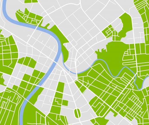
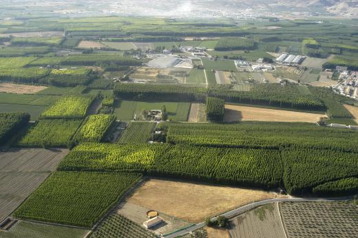
Photogrammetry is often a useful tool in creating maps. Cartographers and geographic information system (GIS) specialists may enlist the help of a photogrammetrist to produce 3D topographical data. This is usually accomplished by analyzing a series of aerial photographs taken from an overlapping flight pattern.
Photogrammetry may also be useful in a variety of industries. For example, pictures taken of the automobiles involved in a crash can be analyzed to determine the extent of the damage. Also, some film producers take still photographs of a location and use photogrammetry to create a 3D model of the set in a computer before they shoot a film.
AS FEATURED ON:
AS FEATURED ON:


Discussion Comments
@hamje32 - One of my duties at a company I worked for was as a GIS analyst.
I took data created by GIS photogrammetry and used them as raster image backdrops for spatial analysis of a telecommunications network.
The 3D images were very realistic, and provided a much better representation of the topology on which we had laid our network than a simple 2D photograph would have.
I watched a show on television about the Shroud of Turin, supposedly the burial cloth of Jesus.
Scientists have performed extensive analysis on this cloth. Much of that analysis has usually been 2 dimensional study; however they did something unusual on this program.
The scientists were able to use 3D photogrammetry to create a 3D model of the face on the Shroud. It was utterly amazing how they were able to use 2D points on the picture to create the 3D model.
It also gave enhanced depth to the scars that were on the body and gave scientists a better understanding of what happened to the victim who had worn the the cloth.
Whether or not you accept the theory that the Shroud was that of Jesus, there has been a tremendous amount of scientific study on the Shroud that is very illuminating, made all the more so by 3D photogrammetry.
Post your comments