What Is Plane Surveying?
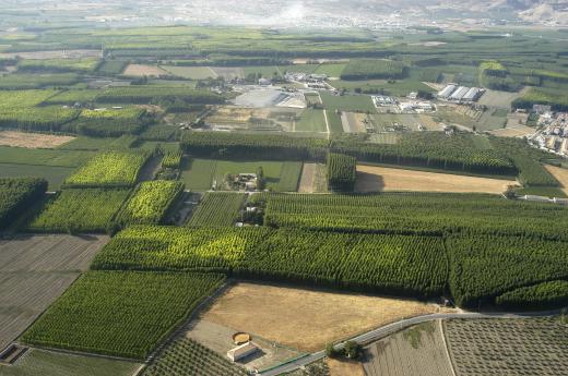
Plane surveying is a common method of calculating land composition and topography that involves considering a set expanse of land as a flat plane. This kind of land surveying works best for small areas of land, in large part because the Earth is not actually flat. A plane survey conducted over a vast expanse of land is likely to be inaccurate, because it is incapable of accounting for the natural curvature of the earth. In some circles, aerial land surveying, that which is done by airplanes, may also be called "plane surveying," though this use is less common.
Engineers and civic planners have many uses for professional land surveys. Land surveys provide details about topography, and help builders estimate distances, densities, and land depths with a great deal of precision. Plane surveying depends on visual markers and individual calculations.

In plane surveying, the land being assessed is considered to be a flat plane. Surveyors use a variety of tools to place points on that plane, known as the plane table. They will then use principles of plane geometry, trigonometry, and algebra to calculate the relative distance between points, the density of certain topographical features like mountains, and the depths of ravines and other land indentations. Plane surveying can also be known as plane table surveying.
Plane table survey calculations are very important to a wide range of civic building and mapping projects. Surveyors use plane techniques to ensure that buildings, highways, and other structures are built both on solid ground and in a liner, logical way. Accurate surveying is also one of the reasons that modern city blocks are usually all roughly about the same size, and that streets so often run exactly parallel to each other. Many GPS units are programmed with data collected by plane surveyors as well.
Most of the time, plane surveying is only appropriate for relatively small areas of land. A neighborhood may be planned with plane surveying, for instance, but an entire city may not be able to be — at least not all at once. In large part, this is because plane surveying presupposes that the land as it can be seen is a flat plane.
Surveyors concerned with only small areas of land do not usually need to worry about the Earth's curvature, since that curvature is very subtle. Over larger swaths of land, however, failing to account for the Earth's curved surface can lead to results that are more than a little inaccurate. Large-scale land surveying generally requires more specialized tools, as well as more complex math.
The term "plane surveying" can also sometimes refer to land surveys conducted aerially, by plane. Most of the time, this kind of surveillance is known simply as "aerial surveillance," however. It is used primarily as a form of monitoring, not as a means of measuring and calculating land distances outlines.
AS FEATURED ON:
AS FEATURED ON:


Discuss this Article
Post your comments