What Is a Cumulonimbus Cloud?
A cumulonimbus cloud is one of the largest clouds formed in Earth's weather patterns. The tall, column-like appearance, often with a flat top, can indicate severe lightning, heavy rain and high winds. Storm clouds form from rising warm air that cools and creates ice at higher altitudes, or height above ground, and rain at lower levels. They can also create hail and tornadoes that can cause crop and property damage, and injury to people and animals.
As the sun warms the ground, air begins to rise into the atmosphere. If enough humidity or water vapor is present, clouds can form. Cumulonimbus formation begins with smaller cumulus clouds, which do not indicate severe weather. If the rising air continues to push upward, the cumulus clouds can rise to towering cumulus, with heights of tens of thousands of feet or meters. The formation of rain drops releases heat, and enough energy can be generated to form an increasingly large cloud.

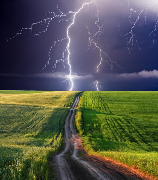
When lightning begins to occur, a cumulonimbus cloud has developed, and a thunderstorm is now present. Thunderstorms can occur as a single cloud formation, often called an air mass storm or isolated cell. They can also be lined up along a frontal boundary, which is the line between a warmer, moist air mass and a colder, dry air system. These lines of storms are often called squall line storms, and can create severe weather.
Clouds are constantly changing, and a cumulonimbus cloud is no exception. They go through a life cycle, with each phase having telltale signs or characteristics. These stages generally are known as developing, mature, and dissipating.

A developing cumulonimbus cloud is absorbing heat from the rising air, with rain and ice being formed at different altitudes. As the rain droplets release more heat, updrafts of rapidly rising air can form in the cloud system. If enough moisture is carried up and ice accumulates or sticks together, hail can form.
Mature cumulonimbus clouds are typically called thunderstorms. Lightning occurs as electrical energy is produced from the friction of water in the cloud. A column-like towering cloud forms with a flat top shape, often called an anvil. The anvil is caused when high speed air, called the jet stream, pushes the top of the storm ahead of the column.

A mature thunderstorm can produce high winds from downdrafts of cold air leaving the bottom of the cloud, known as microbursts or gust fronts. Heavy rain and frequent lightning indicate a mature storm is underway. Hail can often be seen in areas at the front of the storm, as the accumulated ice crystals become too heavy and fall ahead of the storm.
Some weather conditions can create thunderstorms that are more dangerous. A super cell thunderstorm is a mature cumulonimbus cloud with internal rotation, called a mesocyclone. Air moving in different directions at different altitudes causes the super cell to rotate, which can cause tornadoes or severe winds. Super cells can be very stable systems, and dangerous weather can occur for a long time over long distances.

As the storm continues, rain falls through the cloud, removing moisture and changing the flow of air. Heat that caused the rapid updraft of air in the developing storm is gone and the storm begins to dissipate, with some areas of rain but less wind. The towering cloud structure begins to break apart, and the cumulonimbus cloud becomes either a more uniform layer of clouds or disappears.

Other types of clouds can show that storms are coming. Cirrus clouds are very thin layers of ice crystals at high altitudes, often called wispy or feather-like. These ice crystals are actually the tops of cumulonimbus clouds some distance away that have been pushed ahead by high-altitude winds, called the jet stream. Cirrus clouds can be an indication that stormy weather is a day or two away, because the jet stream is moving more quickly than the storm area.
AS FEATURED ON:
AS FEATURED ON:


Discuss this Article
Post your comments